Drone LiDAR for surface surveys, lease compliance and stockpile volumetrics. Vehicle-mounted LiDAR for inside the pit. Same underlying hardware, delivered on a timeline and a price that makes repeat surveys actually feasible.
Current providers charge ₹30–50 lakh and take two to three weeks to deliver maps for a 200-acre lease. The drone flight itself takes hours. The rest is processing, specialist scarcity and consulting margin — which makes routine survey work prohibitively expensive at exactly the cadence a well-run mine needs it.
₹30–50 lakh · 2–3 weeks · 200 acres. That's what operators pay today for what is, technically, a drone flight and a data pipeline. MineVision delivers the same outputs — point cloud, orthomosaic, volumetrics, compliance overlays — at a fraction of cost, in days not weeks.
Full point-cloud data for the surveyed area. Every point geo-referenced and dense enough to physically measure features off the digital model.
Photogrammetric imagery stitched and orthorectified — suitable for planning, compliance filings and boundary validation against lease documents.
Inventory and stockpile volumes against a reference surface. Daily volumetrics are realistic on a recurring flight cadence.
Your actual surveyed surface overlaid against your approved mining plan — where extraction deviated, and by how much. Useful in both operations and compliance review.
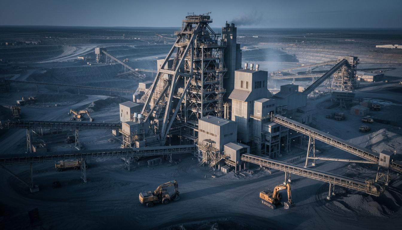
Mining plan compliance. When the lease is granted, specific areas are allocated for extraction. Keeping actual extraction inside those areas — and documenting it — is a regulatory requirement, not a nice-to-have.
Stockpile and inventory volumetrics. Daily or weekly volume calculations for extracted material. Done properly, it closes the reconciliation loop between what came out of the pit and what sits in inventory.
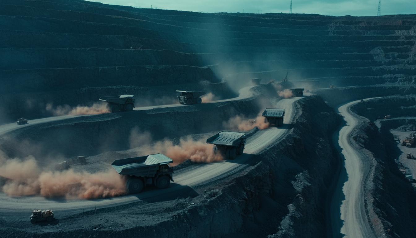
Lease boundary validation. Verify that operations have stayed within the lease line, with the documentary evidence ready for the next compliance filing.
Request a survey quote →
How much has actually been mined out — and what's left — traditionally relies on periodic ground surveys and estimation. Vehicle-mounted LiDAR closes that gap. A single traverse of the pit generates a 3D model dense enough to compute volumes against your original baseline.
A LiDAR sensor mounted to a site vehicle — or carried on tripod / handheld for hard-to-reach sections — captures the full geometry of the pit interior. Benches, ramps, walls, stockpile toes. 200 m range. 1 million points per second.
The point cloud is differenced against a baseline surface — either a prior drone survey or the original mining plan topography — to produce a cut-and-fill volume report. Same workflow runs monthly, quarterly or on demand.
A single engagement can cover surface mapping (drone) and pit mapping (vehicle), cross-registered into a single site model.
Compute total volume extracted over a period, independent of truck-count or weighbridge estimates. Useful for reconciliation and for royalty calculations.
Bench heights, berm widths and slope angles captured precisely — for geotechnical review and for comparing designed versus actual pit profiles.
Audit-ready volumetric evidence for periodic regulatory and royalty filings, with the underlying point cloud preserved for re-analysis.
Combined drone and vehicle LiDAR data produces one model covering surface, stockpile and pit interior — the foundation everything else references.
Share your site scope. We'll quote timeline and cost benchmarked against what you're paying today.